← Back
3D Urban Planning with CityEngine
Procedural City Modeling for Urban Design
Project Overview
This project presents an introductory application of Esri CityEngine,
completed as part of the GIS Applications for Urban Planning coursework
in the GIS degree programme at the University of Peradeniya. The project explores how
procedural 3D modeling can support urban design and spatial planning processes.
Study Area
The study focuses on a selected urban area used for academic demonstration purposes.
The model represents buildings, road networks, and land parcels to simulate a
simplified city environment.
Data & Inputs
- Base maps and road network data
- Land parcel boundaries
- Procedural rules for building generation (CGA rules)
Methodology
- Importing and preparing spatial data in CityEngine
- Defining procedural rules for buildings and streets networks
- Generating 3D urban forms using CGA rules
- Visual evaluation of urban structure and spatial layout
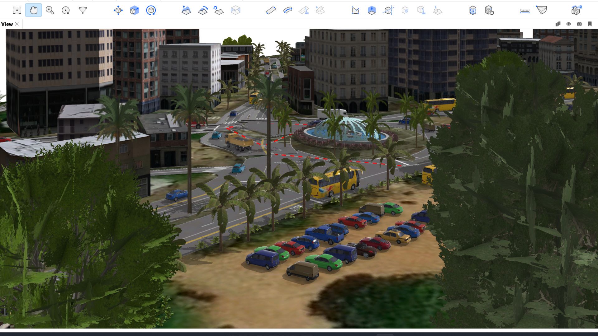
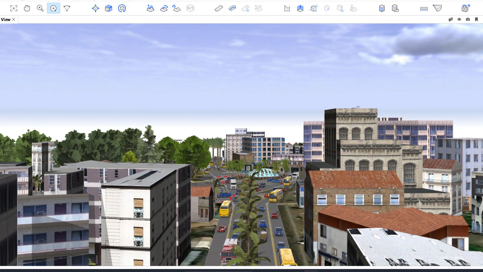
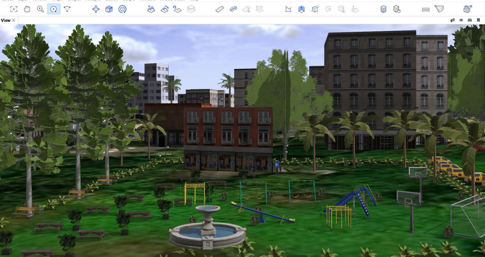
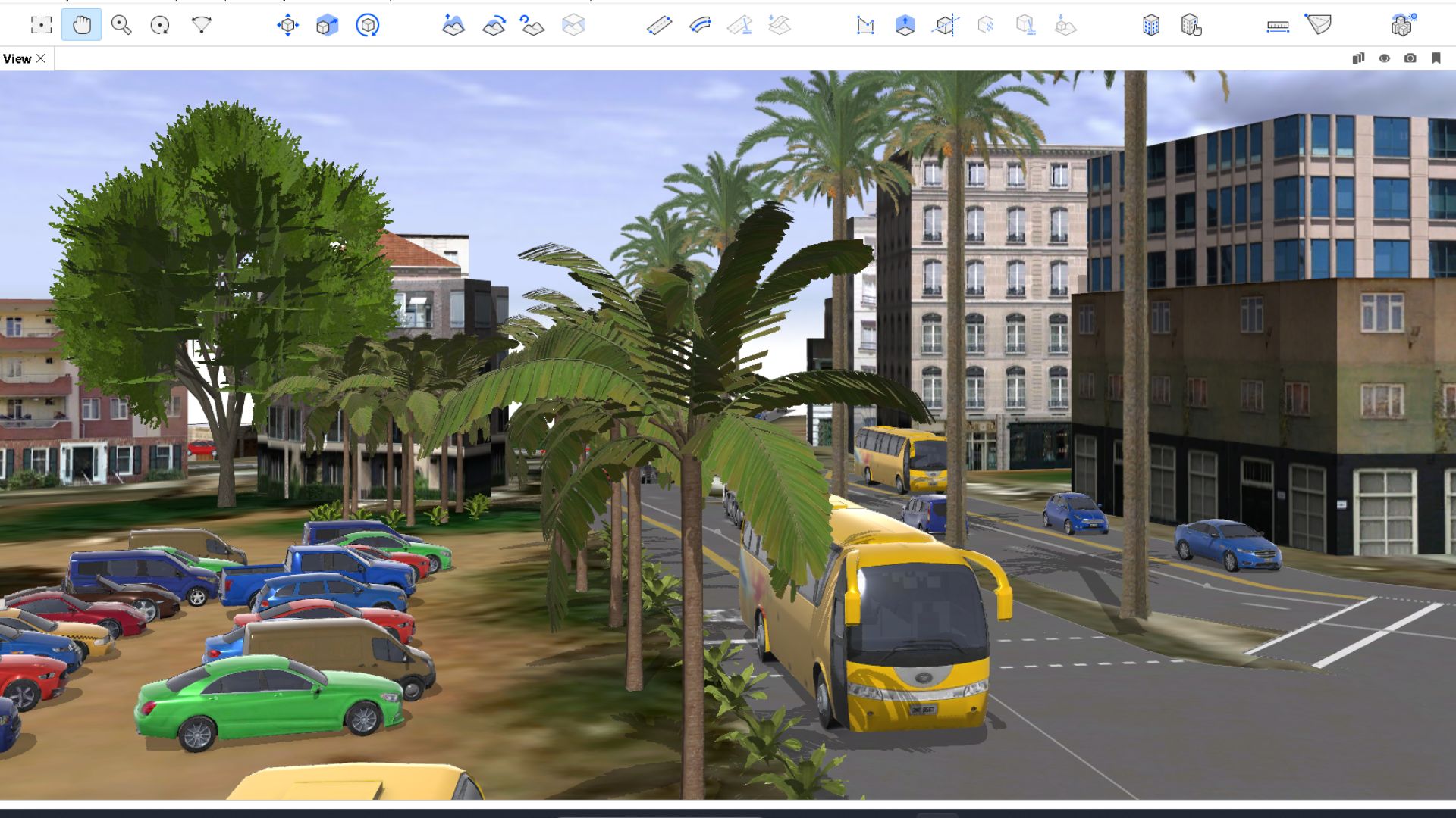
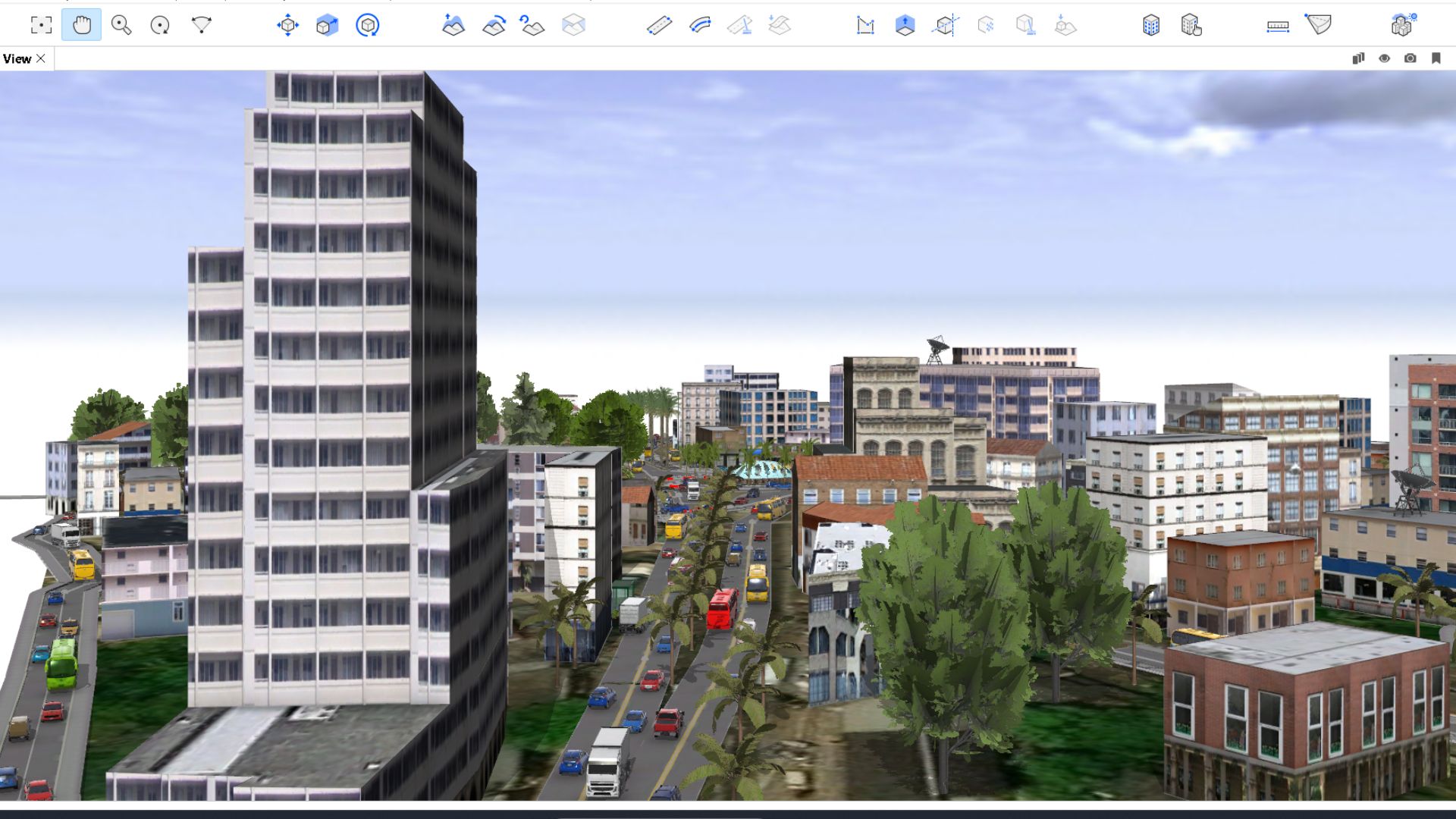
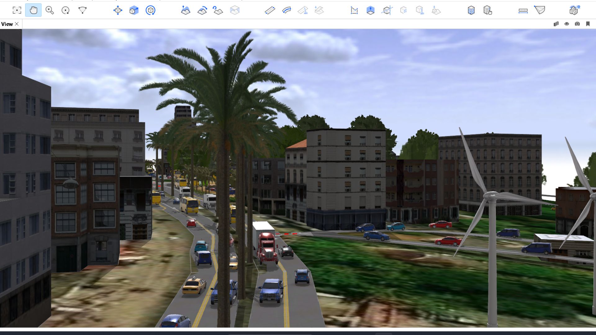
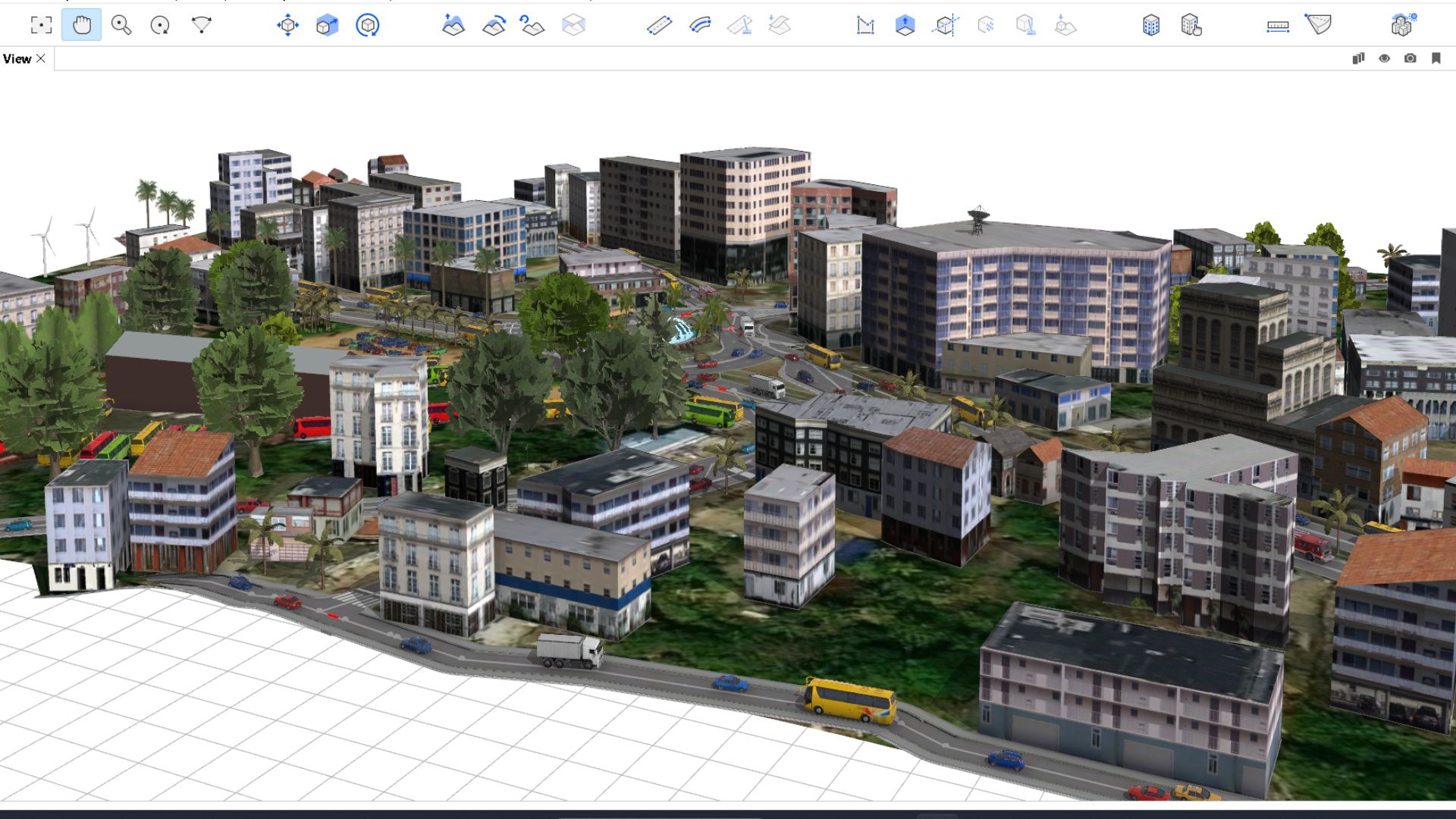
3D City Models
The 3D visualizations demonstrate the application of procedural modeling
techniques for representing urban form and spatial structure in a
planning-oriented context.
Key Learning Outcomes
- Understanding procedural modeling concepts in 3D GIS
- Hands-on experience with Esri CityEngine
- Improved spatial thinking for urban planning applications
- Visualization of urban design scenarios
Tools & Skills
- Esri CityEngine
- 3D GIS & Procedural Modeling
- Urban Planning Concepts
- Spatial Data Visualization
Conclusion
This project demonstrates an introductory application of 3D GIS and procedural
city modeling techniques. The outcomes highlight the potential of CityEngine as
a powerful tool for urban planning and provide a foundation for more advanced
3D modeling and simulation workflows.